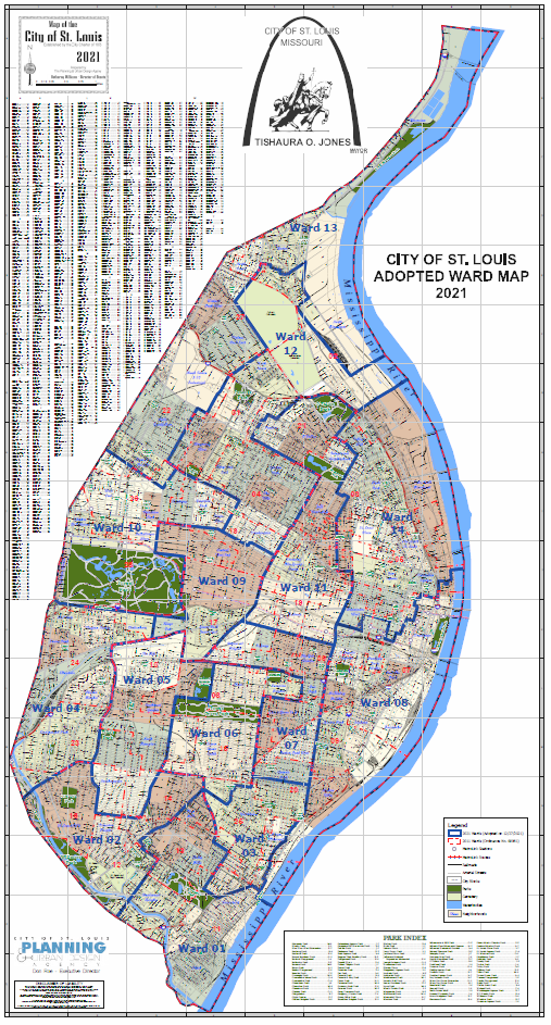
Citywide Ward Map Comparison (2011 & 2021)
36" x 64" large-format citywide ward map showing 2011 and 2021 ward boundaries.
Publication Date: 12/27/2021
Document Type: Maps and GIS
Sponsor:
Planning & Urban Design Agency
Summary
36" x 64" large format size citywide 2011 & 2021 comparison ward boundaries map.
Download
-
 Citywide 2021 & 2011 Ward Boundaries
(10.31 MB)
Citywide 2021 & 2011 Ward Boundaries
(10.31 MB)
Need Help Viewing?
You need a program that can open Adobe PDF files. A free option:
- Adobe Reader (can read PDF files)
Feedback is anonymous.